The island in southern Åland, between Mariehamn and the Sea of Åland.
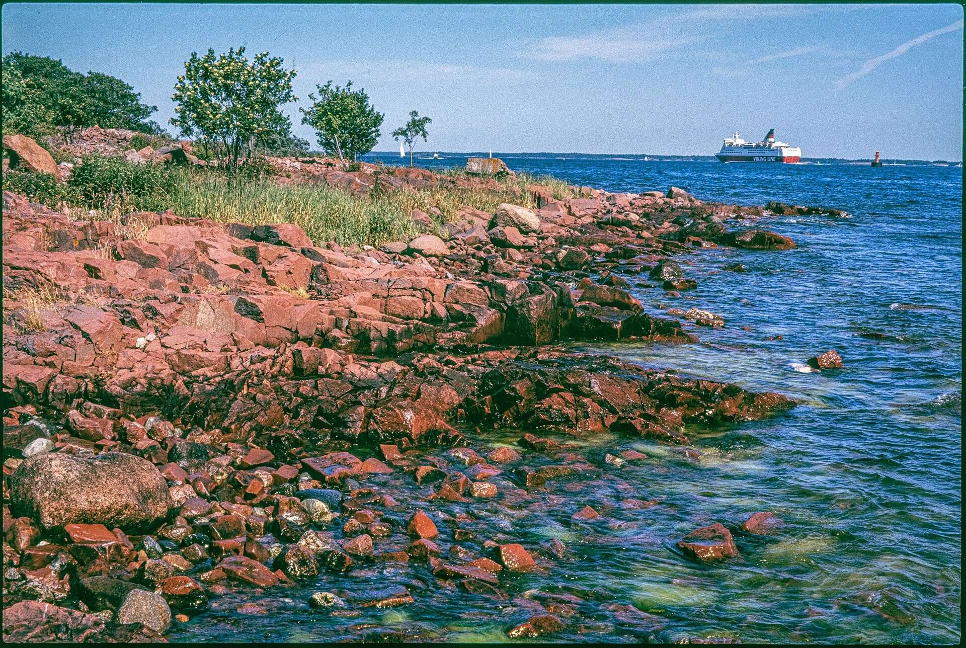
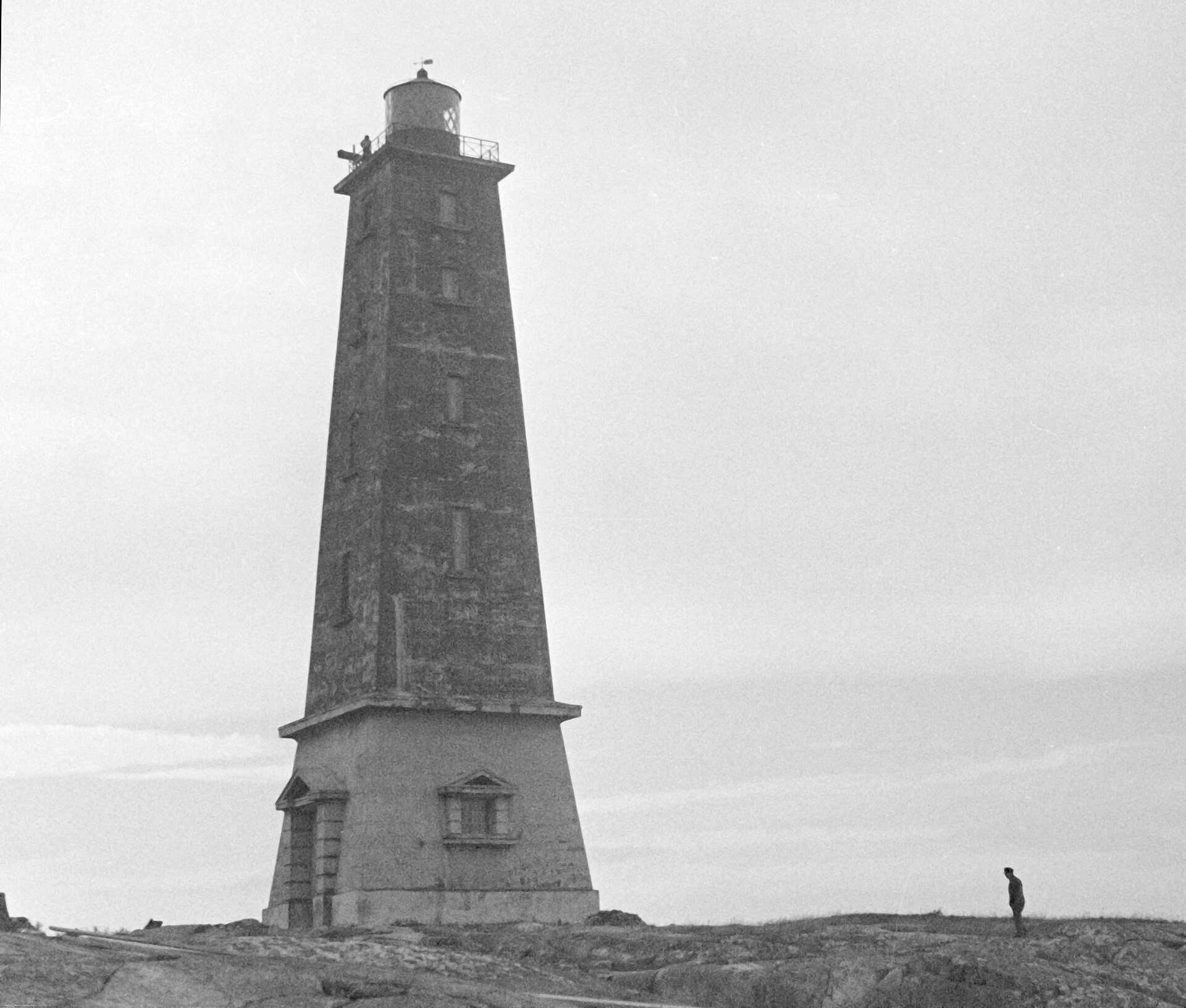
Lemland is a municipality on mainland Åland, east of Mariehamn. You reach the main island by car or bike over the bridge at the Lemström canal, and another bridge links it to Lumparland in the east. To the south, the archipelago stretches out towards the Sea of Åland: Järsö and Nåtö, the harbour at Rödhamn and the lighthouse on Lågskär.
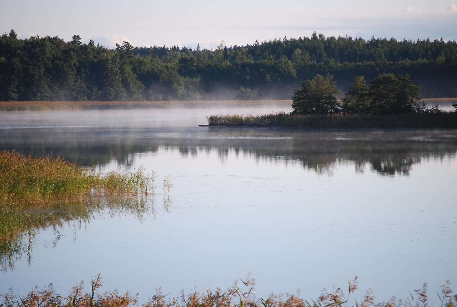
Most of the municipality is water. On land there is a medieval stone church, the ruin of a medieval seafarers' chapel, old farming villages, and the Herröskatan and Bistorp nature reserves.
What to see in Lemland
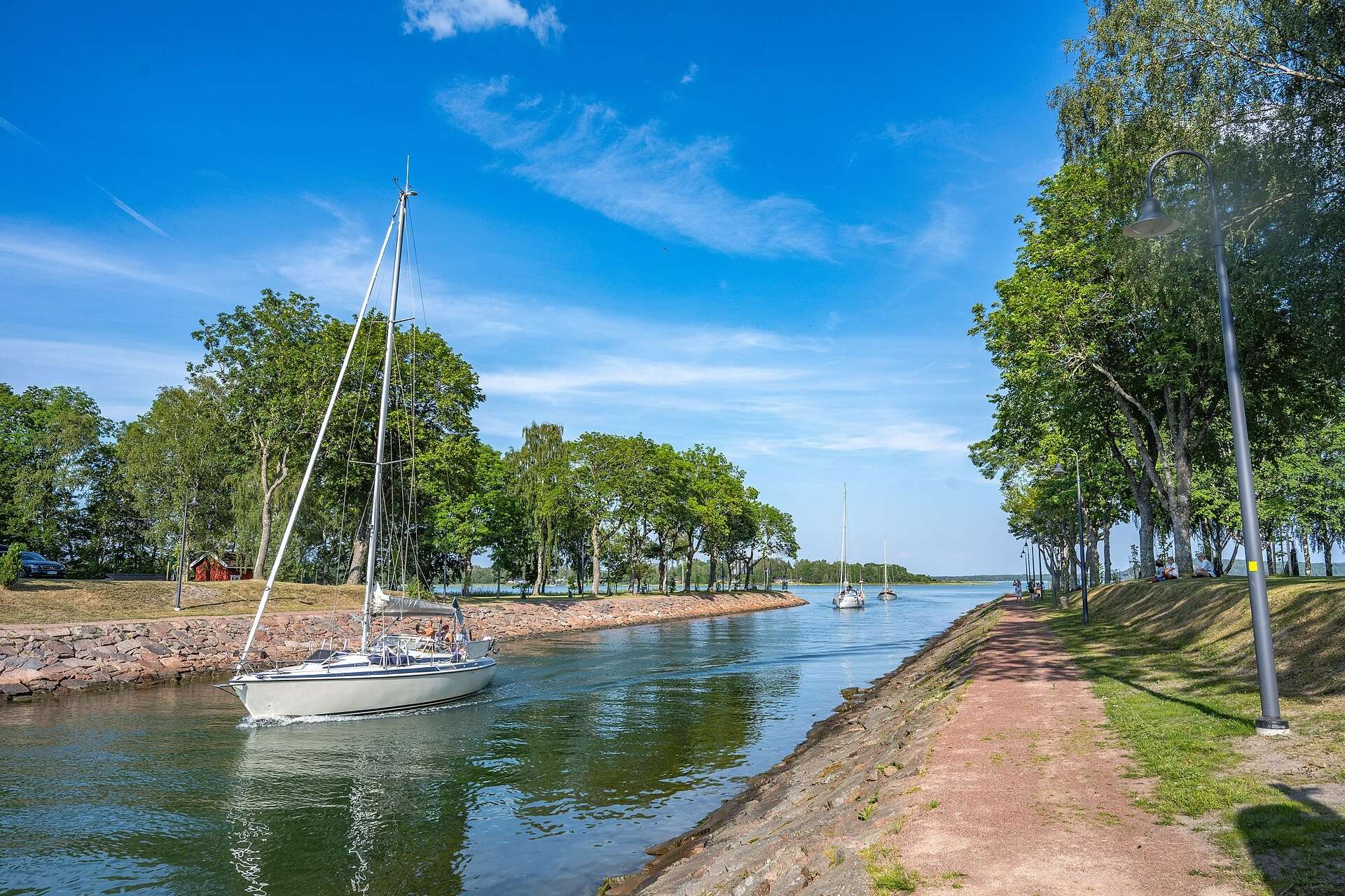
Lemström canal
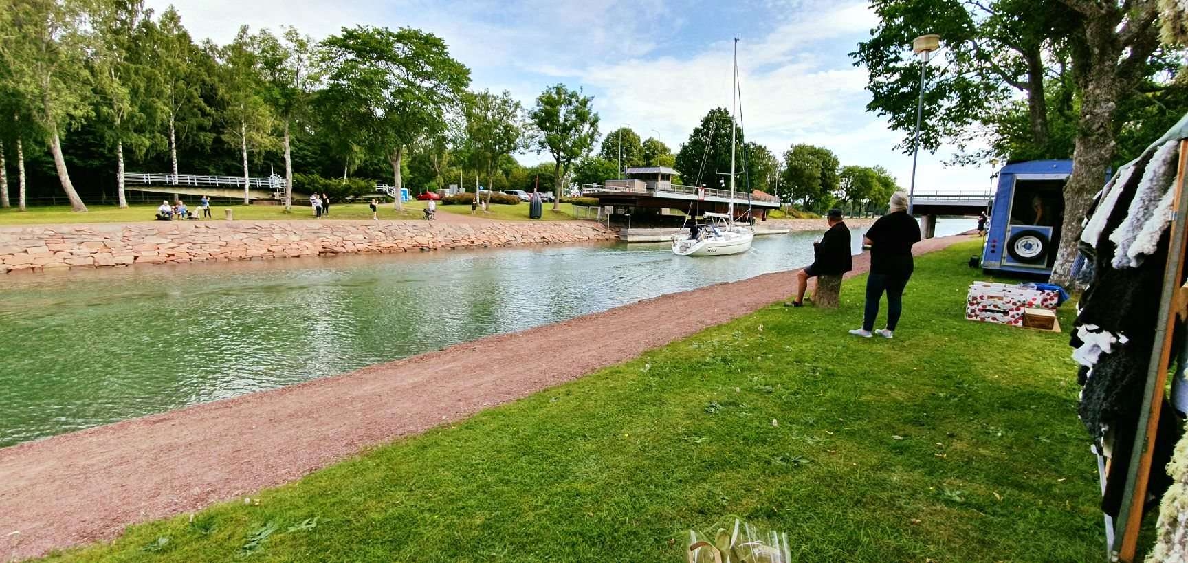
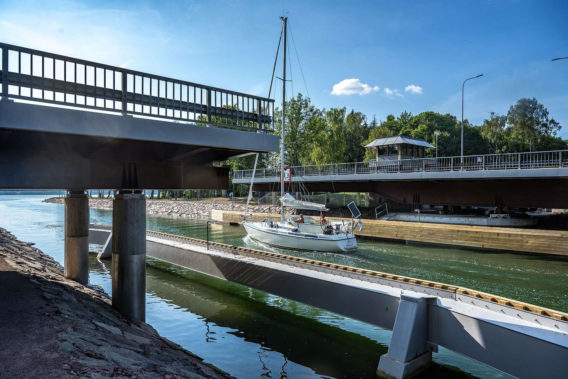
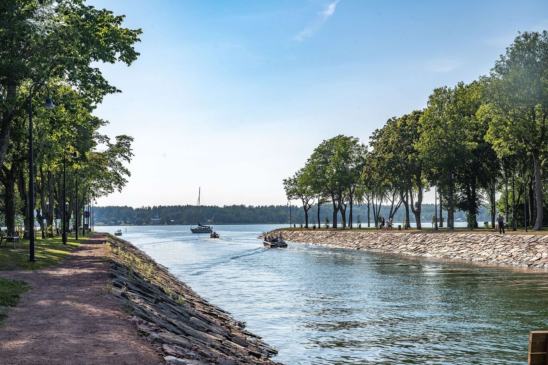
The narrow canal between Lemland and Jomala, with a swing bridge, stone-lined banks and a footpath. Sailing boats pass through here between Lumparn bay and the waters east of Mariehamn.
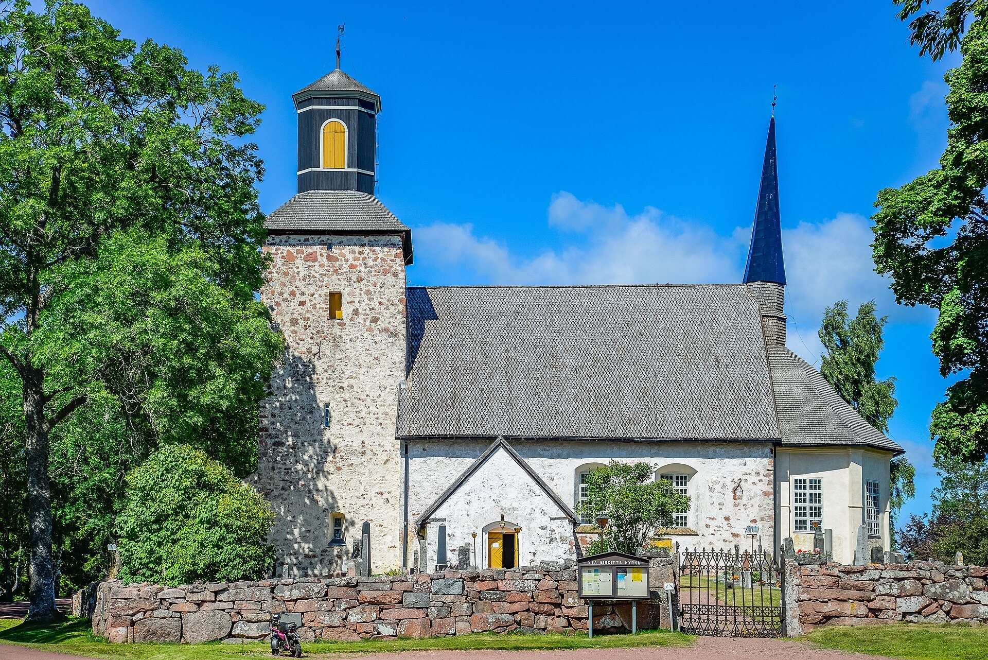
Lemland church in Söderby has a nave from the late 13th century and wall paintings uncovered in 1957. In the woods at Lemböte stands the ruin of a seafarers' chapel dedicated to St Olav.
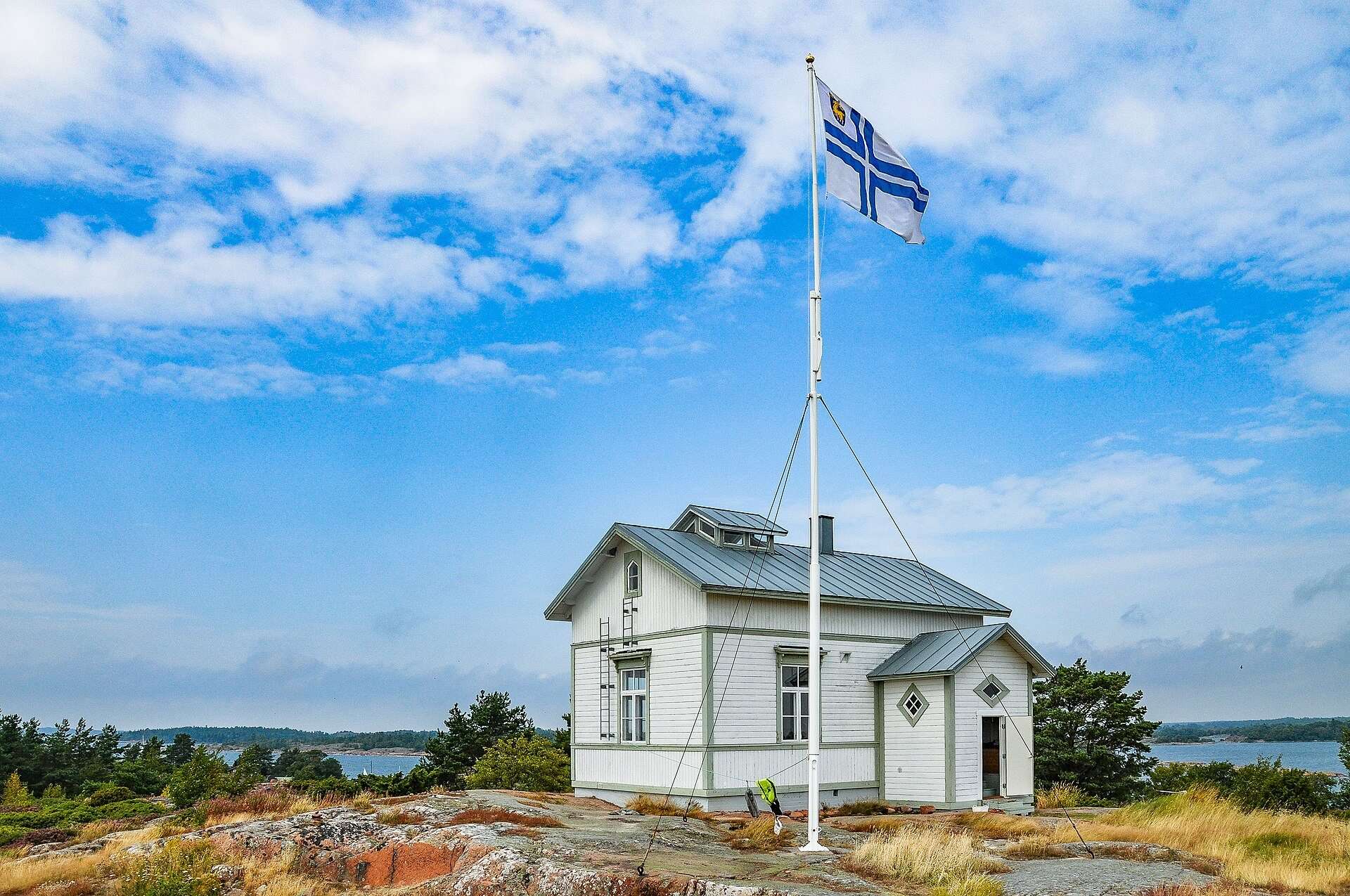
A sheltered natural harbour in the southern archipelago, used by seafarers since the Middle Ages. A guest harbour, a radio beacon turned museum and views over the Sea of Åland.
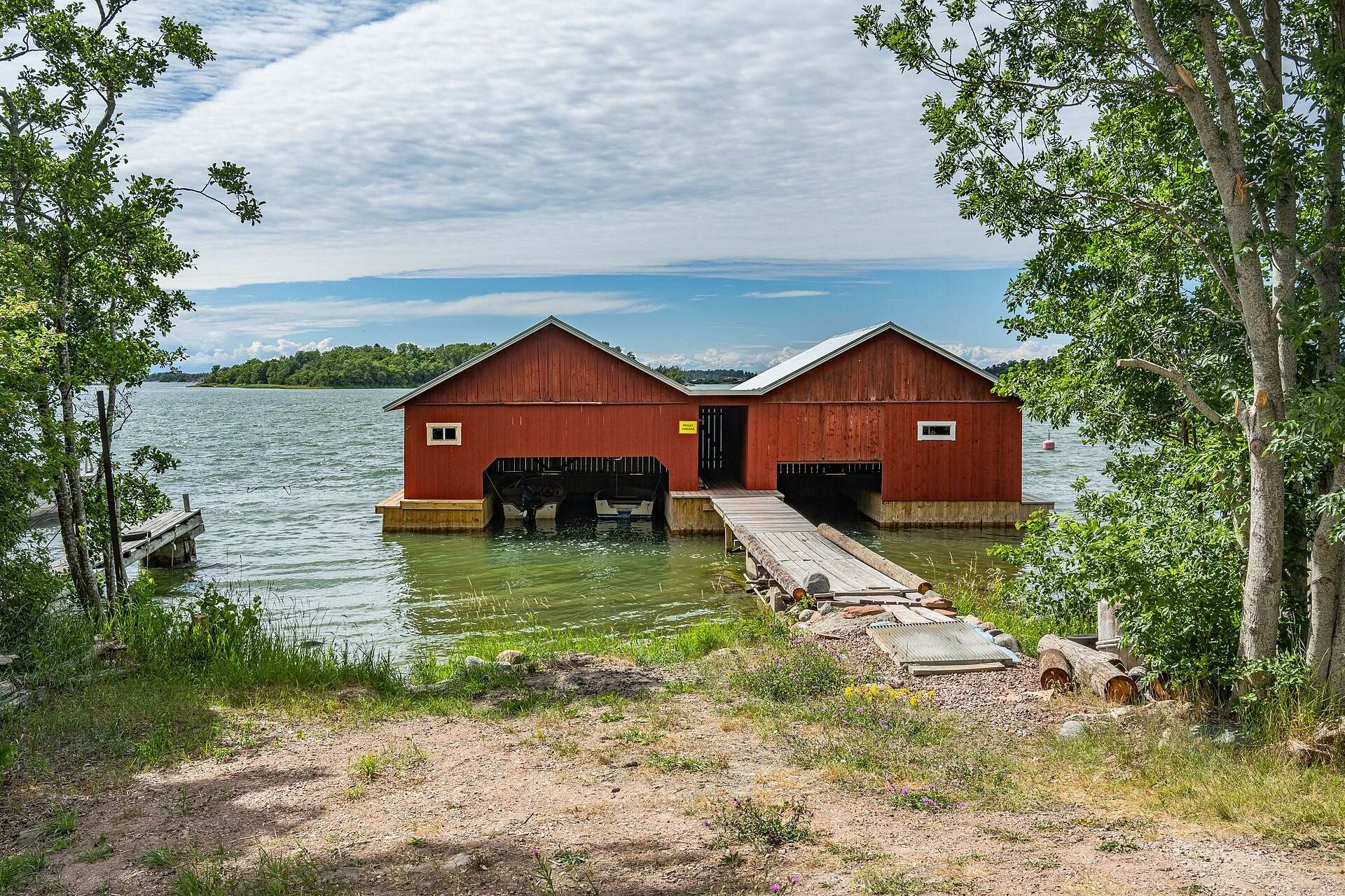
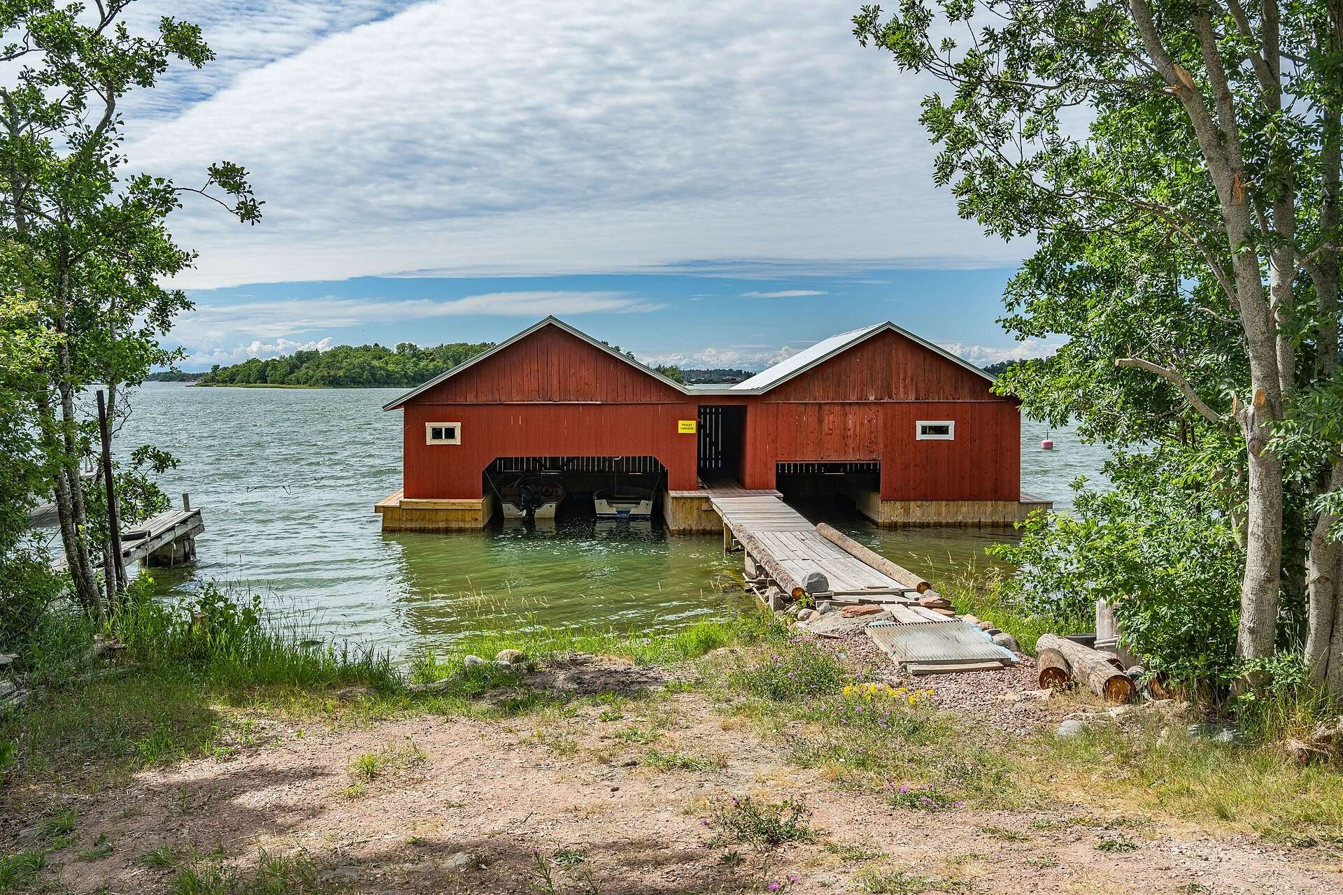
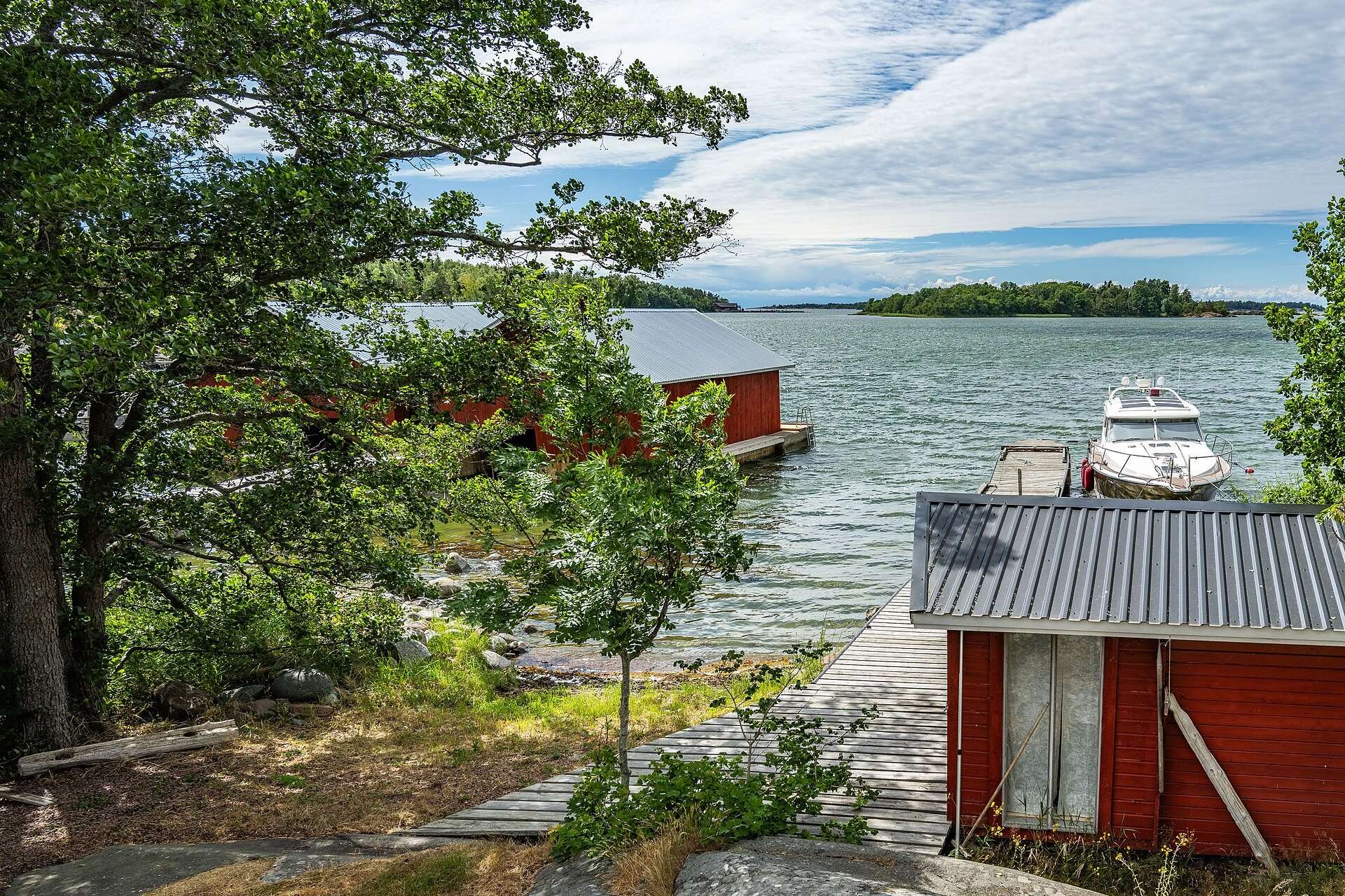
The archipelago islands south of Mariehamn, with boathouses, jetties and summer cottages. They are linked by road to Mariehamn but not directly to Lemland.
Long light evenings, swimming, boating and bike rides on the small roads between the villages. Peak season for guest harbours and cottages.
Winter
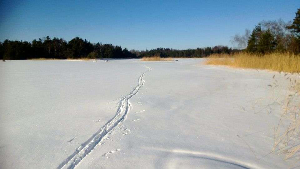
In some winters the bays freeze over and you can skate and ski on the ice. Never go out on the ice without checking that it will hold.
An island to grow up on
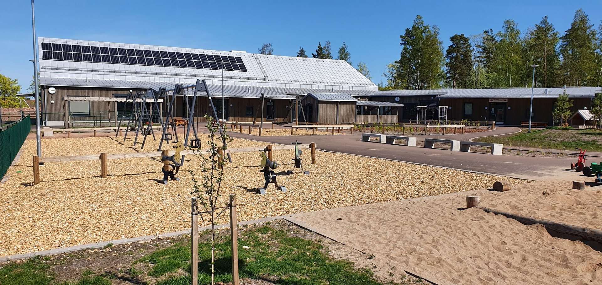
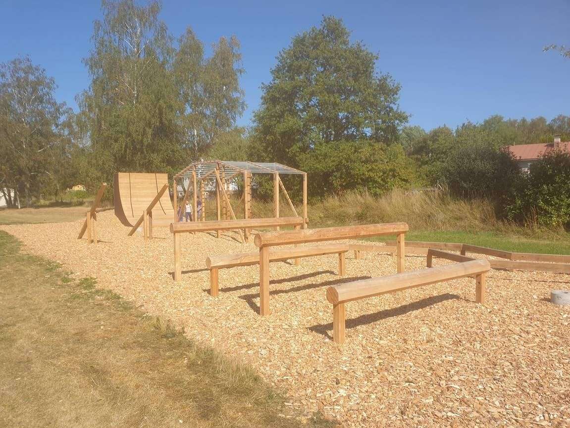
Lemland has a young population and has grown steadily since the 1970s, largely thanks to its closeness to Mariehamn. The municipality has day-care centres, a school, a sports hall, playgrounds and a wooden obstacle course.
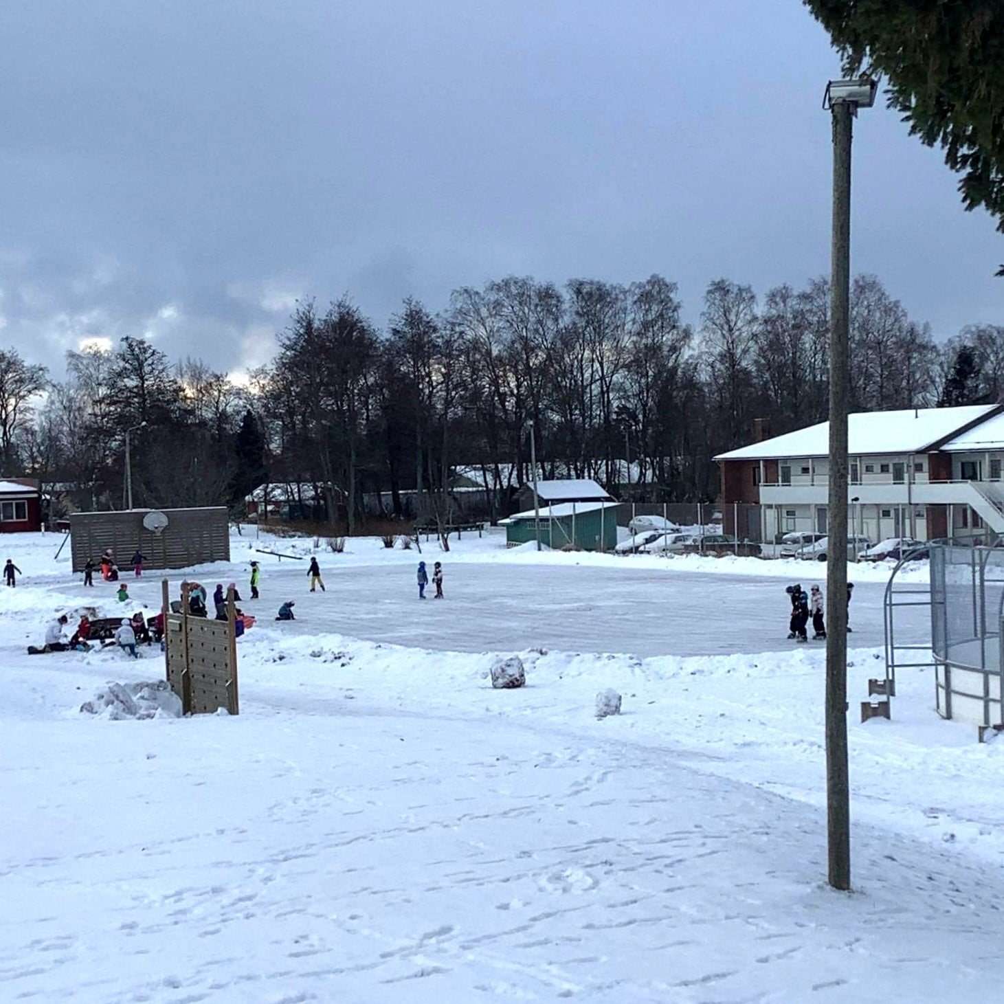
In winter an outdoor rink is flooded for the children; in summer many gather by the canal.