Things to do in Lemland
Lemland, in the Åland Islands, has two medieval places of worship, a canal from 1882, a sea captain's farm from 1884 and two nature reserves, spread over 965 km² of which 852 km² is water. This page lists every sight in the municipality, with links to the detailed guides.
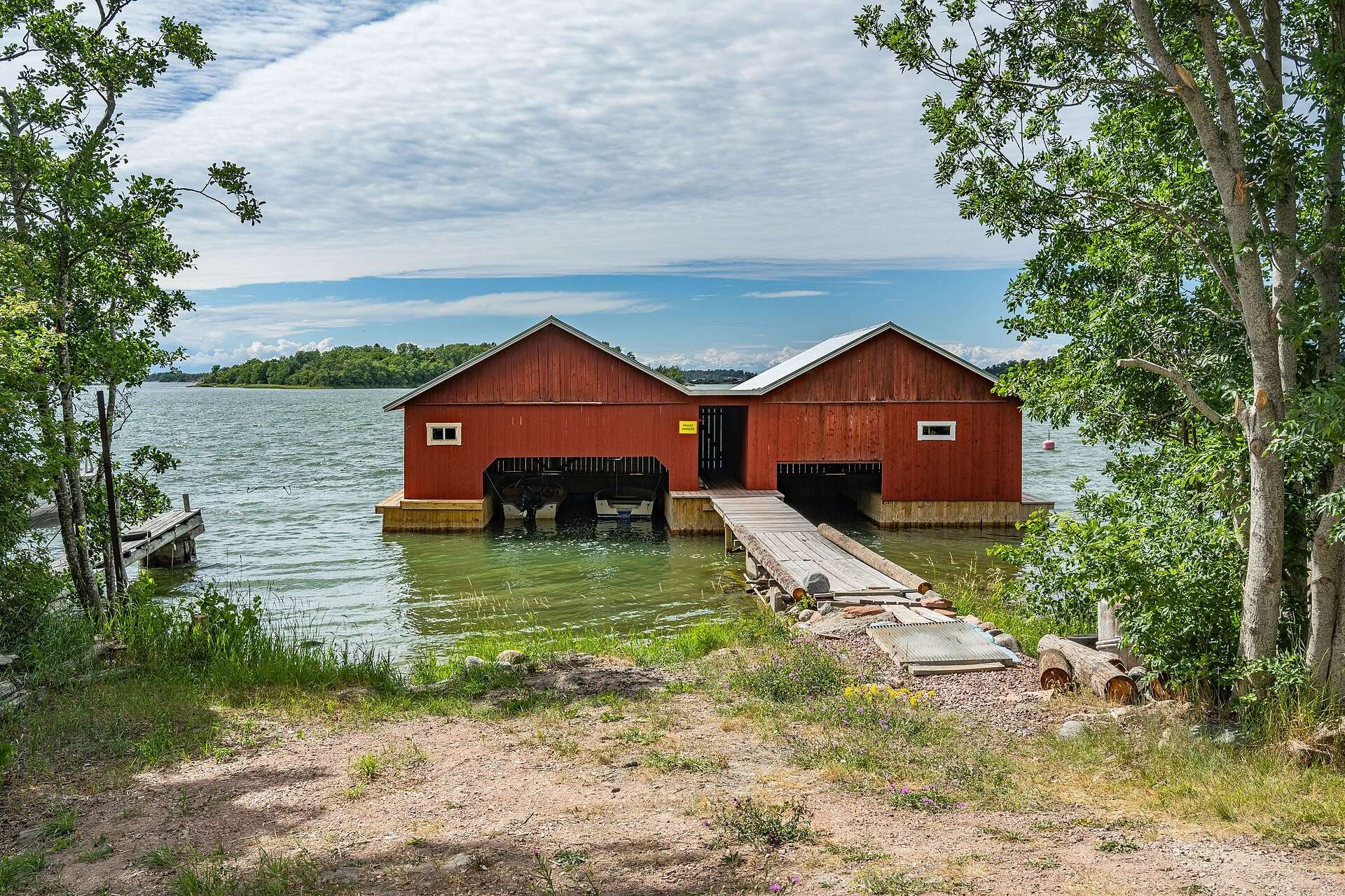
Lemland is a municipality east of Mariehamn, home to 2,139 people at the end of 2025. Most of it is water: of 965 km², 852 km² is bays, sounds and sea. The sights follow two threads. One is the Middle Ages and the 19th-century era of farmer shipowners, with the church, the seafarers’ chapel and the sea captains’ farms. The other is the coast and the archipelago, from Herröskatan in the south to the lighthouse island of Lågskär far out in the Sea of Åland.
Below you will find every sight in one place, each with a short description and a link to its detailed guide where there is one.
What is there to see in Lemland, Åland Islands?
| Sight | Type | Detailed guide |
|---|---|---|
| Lemström canal | Canal from 1882 with a swing bridge | Lemström canal |
| Lemland church | Medieval stone church in Söderby | Church and chapel |
| Lemböte chapel | Medieval seafarers’ chapel | Church and chapel |
| Pellas | Summer museum, built 1884 | Pellas |
| Järsö and Nåtö | Islands along a causeway | Järsö and Nåtö |
| Herröskatan | Nature reserve with a bird tower | Herrö |
| Bistorp stenåkrar | Nature reserve | No separate guide |
| Rödhamn | Old outer harbour and guest harbour | Rödhamn |
| Lågskär | Lighthouse island in the Sea of Åland | Lågskär lighthouse |
History and culture
The Lemström canal
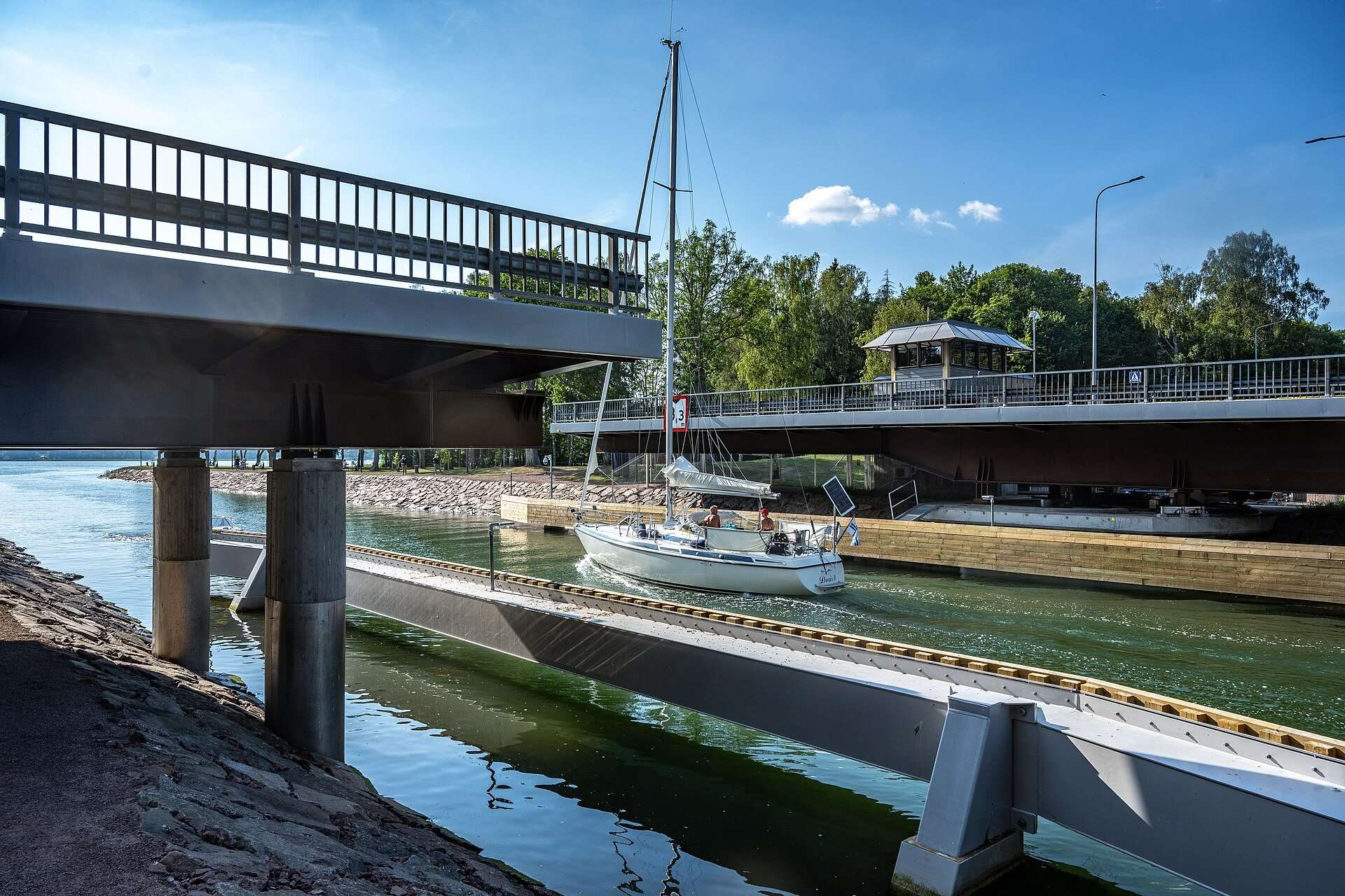
The canal separates Lemland from Jomala and links the water east of Mariehamn with Lumparn. It is 350 metres long and was built in 1882, when Åland belonged to the Russian Empire. A swing bridge from 1983 crosses it and opens for boats on the hour during the season. Read more in the Lemström canal guide.
Lemland church
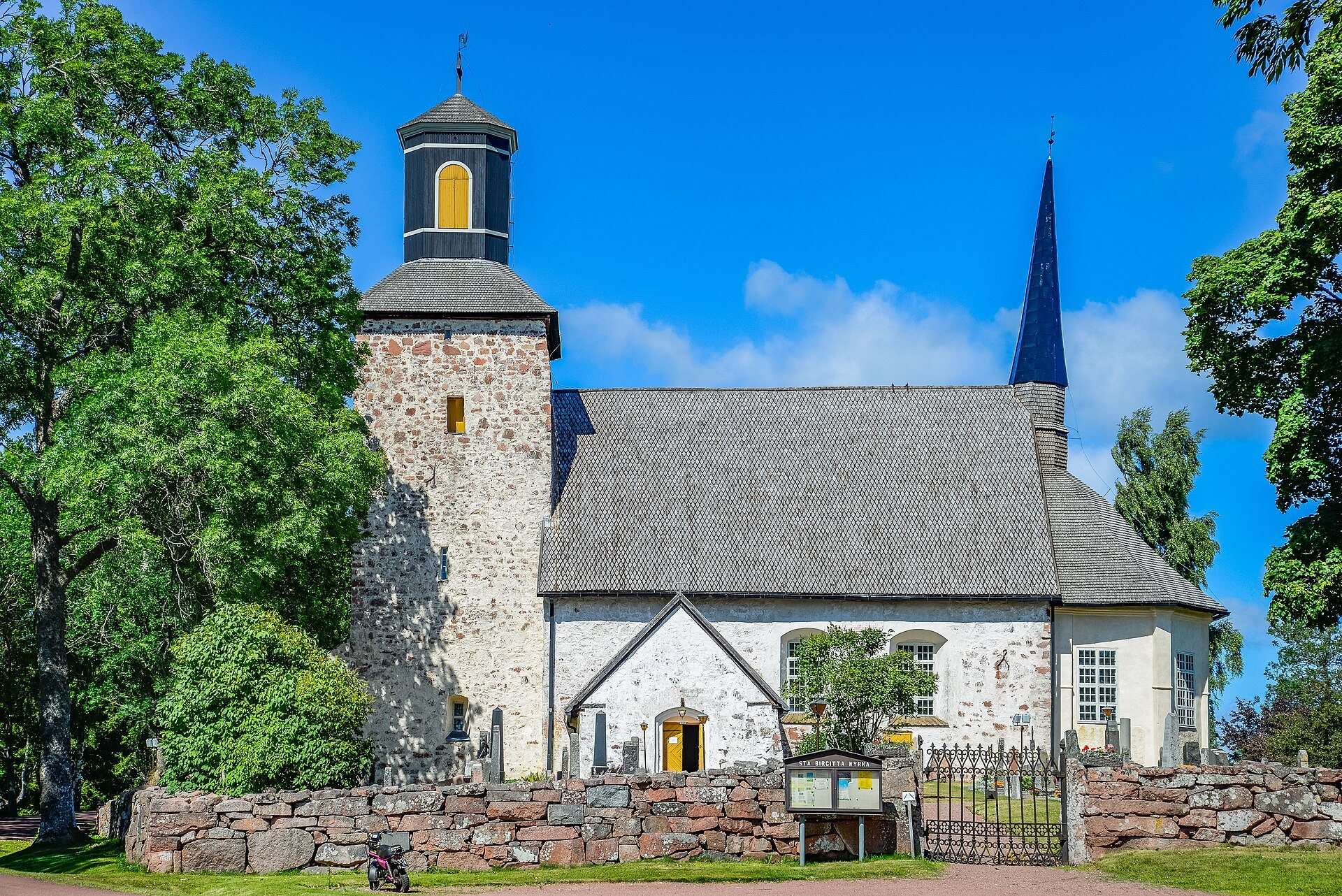
The church in Söderby is built of red rapakivi granite and is one of the oldest in Åland. The nave dates from the late 13th century and the tower from around 1317. Inside are wall paintings from the 1290s, uncovered during the 1957 renovation. See Lemland church and Lemböte chapel.
Lemböte chapel
This small stone chapel is dedicated to Saint Olav and once stood by a sheltered natural harbour on the medieval sailing route between Sweden and Finland. It is partly a ruin under a wooden roof, reached along Kapellstigen, about 700 metres from the car park. It is covered in the same guide as the church.
Pellas, the sea captain’s farm
Pellas was built in 1884 by the farmer and shipowner Erik Petter Eriksson in Granboda village. It is now a summer museum about Åland’s farmer shipowners, with a small café in the main house and an exhibition about the four-masted barque Herzogin Cecilie. Read the Pellas guide.
Söderby and the old vicarage
Söderby is the municipal centre, with the council offices, the school and the shops. The church stands here, next to the parish’s largest Iron Age burial ground. Lemland’s vicarage was built in 1798; according to the municipality, a plot to kill King Gustav IV Adolf was hatched there in 1808, and came to nothing when the guardsman meant to carry it out backed out, claiming a bad cold.
Nature and the archipelago
Järsö and Nåtö
These islands are reached along a causeway of about 10 km that links a string of islets, according to the municipality’s tourist brochure. Nåtö has a nature trail through a restored wooded meadow, and further south lies the Järsö recreation area. Read more in the Järsö and Nåtö guide.
Herrö and Herröskatan
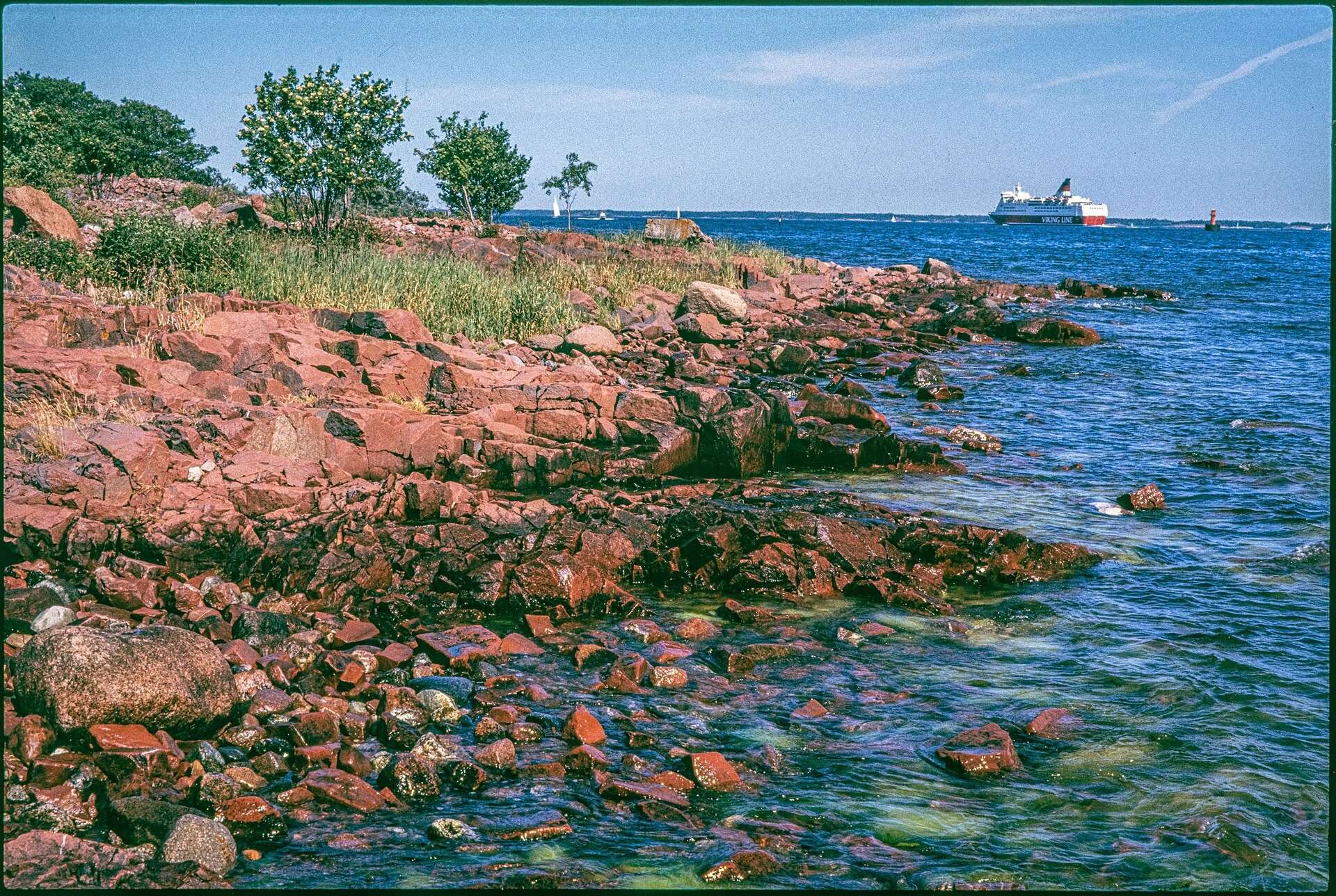
Herröskatan, Lemland’s southern tip, is a nature reserve. A 1.6 km trail crosses the shore rocks to a bird tower, past ruins and quays from the Russian period (1809 to 1917) and fortifications from 1939 to 1945. Cattle graze the area from May to October and dogs must be kept on a lead. See the Herrö guide.
Bistorp stenåkrar and Bistorpberget
Bistorp stenåkrar is one of the municipality’s two nature reserves. The Lemlandsleden trail climbs Bistorpberget, 77 metres above sea level, with views over Lumparn and large boulder fields left by the inland ice.
Knutsboda
The rocky hills by Knutsboda village were painted by the artist Victor Westerholm. His painting The Rocks of Knutsboda is in the collection of the Finnish National Gallery. There is no separate guide to the area.
Rödhamn
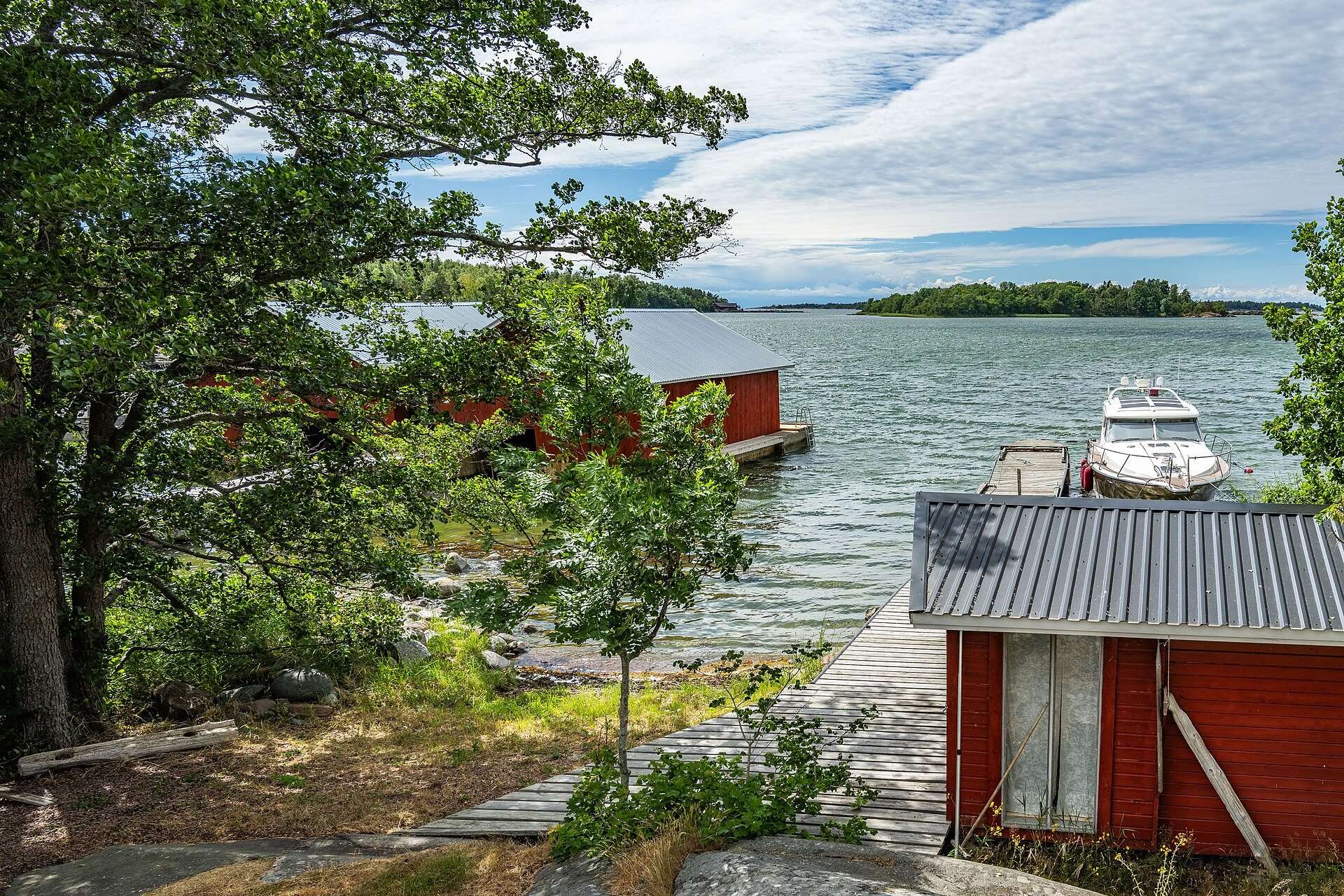
Rödhamn is a group of four islets where sailors have sheltered from storms on the Sea of Åland since the Middle Ages. The rocks bear carved names and coats of arms, and the island has a radio beacon museum with equipment from the 1930s. Read the Rödhamn guide.
Lågskär
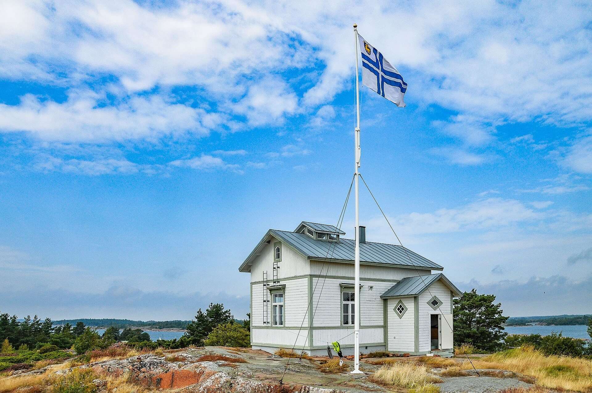
Lågskär lies about 15 nautical miles south of Mariehamn. The lighthouse was completed in 1920, but a stone cairn already guided sailors there in the 17th century. More in the Lågskär lighthouse guide.
Lemlandsleden: several sights on foot
Lemlandsleden is 25 km long and can be walked in stages. The first part runs from Lemström to Söderby with views over the sea and islands. The second part goes from Söderby up Bistorpberget and through the villages of Norrby and Granboda, past Pellas, towards Lumparsund. There you can still see the remains of sunken ships, including the schooner Leo, according to Visit Åland. The trail is marked with white-topped posts and white ribbons on trees and stones.
How to plan a visit
Distances are short, and the canal, the church, Lemböte and Pellas can all be visited in one day by car or bike. The outer islands need your own boat or a planned trip. For practical details, see the guides on getting here, where to stay, the weather and visiting Lemland with kids.
Frequently asked questions
What are the main things to do in Lemland?
The most visited places in Lemland are the Lemström canal, the medieval church in Söderby, Lemböte chapel and the Pellas sea captain's farm. Add to that the islands around Järsö and Nåtö, the Herröskatan nature reserve and, if you have a boat, Rödhamn and Lågskär.
How much of Lemland is water?
Of Lemland's total area of 965 km², 852 km² is water, according to Swedish Wikipedia. That leaves about 113 km² of land, with the rest made up of bays, sounds and open sea. This is why several sights are on islets that can only be reached by boat.
Which sights in Lemland can you reach by car?
The canal, the church, Lemböte chapel, Pellas, Järsö and Nåtö are all by the road network; you reach Järsö and Nåtö along a causeway of about 10 km. For Lemböte chapel you walk the last 700 metres or so along Kapellstigen. Rödhamn and Lågskär are out at sea and need a boat.
Are the sights in Lemland open all year?
The nature sites, the canal and the outside of the church and chapel can be seen all year. Pellas is a summer museum: its 2026 season ran from 16 June to 30 August. The canal's swing bridge only opens for boats in the boating season, 1 May to 27 September in 2026.
Is there a hiking trail through Lemland?
Yes, Lemlandsleden is 25 km long and can be walked in stages, according to Visit Åland. It runs from Lemström via Söderby, up Bistorpberget hill and on towards Lumparsund. It is marked with white-topped posts and white ribbons.
Why does Lemland have so many sea captains' farms?
In the 19th century Lemland was the largest seafaring municipality in Åland, with several shipyards, according to the municipality's tourist brochure. Farmers owned shares in sailing ships and built large farmhouses with the profits. Pellas in Granboda is the one that is now a museum.
Sources
- Wikipedia (sv): Lemland
- Wikipedia: Lemland, population 31 Dec 2025
- Lemland municipality: Sights (archived 2024)
- Lemland municipality: tourist brochure (archived)
- Visit Åland: Lemström canal
- Visit Åland: Lemlandsleden 25 km
- Visit Åland: Herröskatan 1.6 km
- Kyrkor.ax: Lemland church
- Kyrkor.ax: Lemböte chapel
- Skeppargården Pellas
- Wikimedia Commons: Westerholm, The Rocks of Knutsboda