Map of Lemland
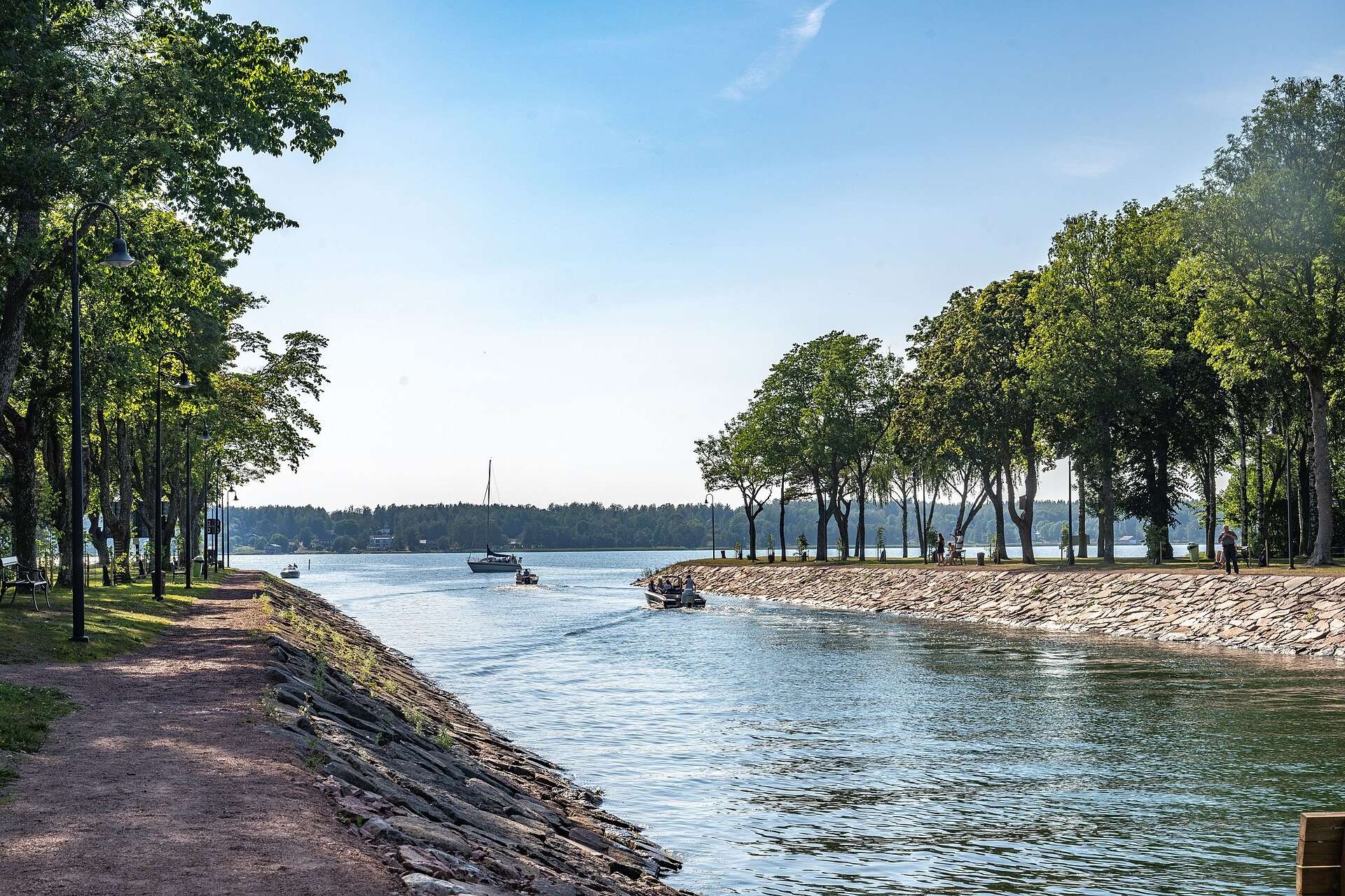
Lemland lies east and south of Mariehamn: the Lemström canal is 7.5 km from Mariehamn's main square, the main village Söderby about 15 km, and the archipelago villages of Järsö and Nåtö are reached by the Järsö road heading south from town.
How is Lemland laid out?
Lemland has three parts, and it helps to keep them apart when you plan a trip:
- The main island, east of Mariehamn. You arrive over the bridge at the Lemström canal. Here you find the main village Söderby, Lemland church, Pellas and the Herröskatan reserve at the southern tip.
- Järsö and Nåtö, the archipelago villages south of Mariehamn. They have their own road from Mariehamn but no direct road to the rest of Lemland.
- The outer archipelago facing the Sea of Åland, with Rödhamn and Lågskär lighthouse. You can only get there by boat.
Of the municipality’s 965 km², 852 km² is water. The map is therefore mostly sea and islets, and distances on land are short.
Distances from Mariehamn
Distances are from Mariehamn’s main square (Torget), calculated with OSRM on OpenStreetMap without traffic. Allow a little more time in summer and by bike.
| Place | Distance | Time by car |
|---|---|---|
| Lemström canal | 7.5 km | about 10 min |
| Nåtö | 7.8 km | about 11 min |
| Järsö | 12.4 km | about 18 min |
| Lemböte chapel (park on Kapellstigen, then about 700 m on foot) | 12.8 km | about 20 min |
| Söderby | 14.8 km | about 17 min |
| Lemland church | 14.9 km | about 17 min |
| Klockarholmen beach | 15.6 km | about 21 min |
| Pellas sea captain’s farm | 20.3 km | about 22 min |
| Herröskatan bird tower | 30.6 km | about 34 min |
| Rödhamn | about 10 nautical miles | boat only |
| Lågskär | 15 to 17 nautical miles | boat only |
The roads to know
From Mariehamn, drive east over the swing bridge at the Lemström canal and carry on towards Söderby. Bus line 5 follows the same route and continues to Lumparland. For Järsö and Nåtö, take the Järsö road (road 30) south from town instead: about 7.5 kilometres of bridges and causeways, according to the Government of Åland.
If you are heading on to Föglö, the ferry leaves from Svinö in the neighbouring municipality of Lumparland, east of Lemland.
How to use the map
Click a marker to see its name, distance and a link to the guide. The round dark marker is Mariehamn’s main square, the starting point for all distances. Rödhamn and Lågskär lie far to the south, so the map zooms out to show the whole municipality; zoom in to see the villages on the main island.
Frequently asked questions
Where is Lemland on the map?
Lemland is on mainland Åland, directly east of Mariehamn. The Lemström canal separates the main island from Jomala and Mariehamn, and to the east a bridge over Lumparsund leads to Lumparland. To the south the municipality continues out into the archipelago towards the Sea of Åland.
How far is Lemland from Mariehamn?
From Mariehamn's main square it is 7.5 kilometres to the Lemström canal and about 15 kilometres to Söderby, according to OpenStreetMap routing. By car that is roughly 10 and 17 minutes without traffic. Bus line 5 follows the same road.
How do you get to Järsö and Nåtö?
Järsö and Nåtö belong to Lemland but are reached by the Järsö road heading south from Mariehamn, not from Söderby. Nåtö is about 8 kilometres from Mariehamn's main square and Järsö about 12 kilometres.
Can you drive to Rödhamn and Lågskär?
No, both are out in the archipelago and can only be reached by boat. Rödhamn lies about 10 nautical miles south of Mariehamn and Lågskär 15 to 17 nautical miles, depending on the source. Water taxis run trips from Mariehamn in summer.
Which villages are in Lemland?
On the main island you find Söderby, Norrby, Bistorp, Bengtsböle, Flaka, Granboda, Haddnäs, Hellestorp, Knutsboda, Lemböte, Rörstorp, Vessingsboda and Västeränga, among others. The archipelago villages are Järsö and Nåtö.
Is there a map to download?
The map on this page is based on OpenStreetMap, which you can also use in navigation apps. For the waters of the archipelago you need official nautical charts or a marine navigator.